


Garmin is changing the game once again with the release of Quickdraw Contours. Users are now able to the latest marine software update to create their own HD lake maps with 1’ contours. If you’ve used other mapping programs before on your old units, try Quickdraw Contours. Trust us, you won’t want to go back to the ancient way of doing things.
Q: Do I have to upload my sonar logs to Garmin in order to get my map back?
A: Nope! There is no tedious process that requires you to upload sonar logs when you get home. Garmin doesn’t believe in forcing you to share your hard-earned data with us in order to get your map back.
Q: How long does it take for a lake map to be created?
A: Only as long as it takes you to map it! Quickdraw Contours creates HD maps with 1’ contours instantly without sacrificing quality.
Q: Is there a monthly or yearly fee to keep my maps private?
A: Not a chance! We aren’t going to charge you a monthly or yearly fee to keep your maps private. That’s just not how we roll.
Q: So you’re saying that I own my maps?
Absolutely! You own the maps you create, plain and simple. What you do with them is your decision. Our highly skilled marine cartography teams are on the water surveying 365 days/year to create the best lake maps on the market. It’s not your job to do theirs, which is why we aren’t forcing you to give us your sonar data in exchange for a map that you worked hard to create. That map is created as you drive around or fish, and is available instantly, without sacrificing quality. Quickdraw Contours is just one more added benefit for you, the angler.
Q: Do I have the option to share my maps with friends or with Garmin?
A: Of course! Like we said, the maps you create are yours to do with as you please.
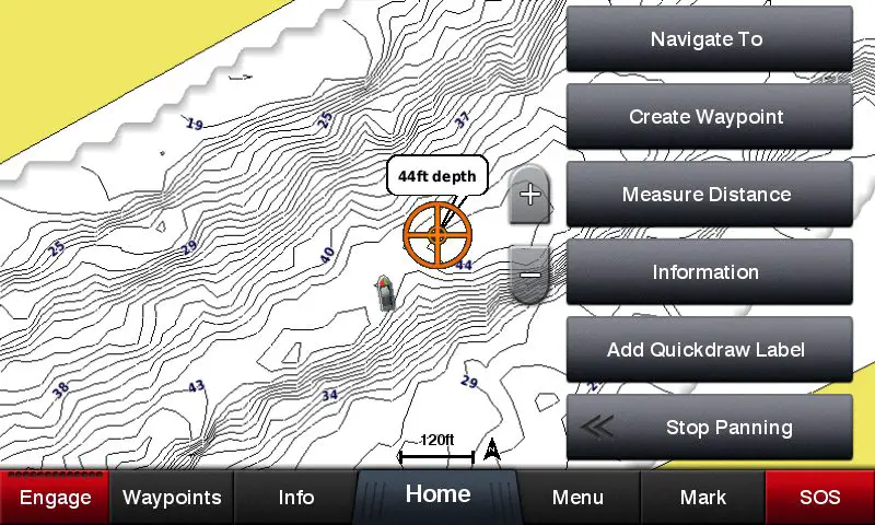
Q: Can I mark special POIs that are built-in to the map, such as navaids, brush piles, laydowns, boat ramps and docks?
A: Yep! All you have to do is hit “Add Quickdraw Label” in the menu. From there, you can customize the label to say whatever you would like.
Q: Is this going to give my buddy all my waypoints and best fishing spots?
A: No way, Jose! You keep your waypoints to yourself – these are just special POIs that go with your Quickdraw Contours map, so you can advise your friends of things such as submerged timber so they don’t run in there on plane. You will still keep your secret fishin’ holes all to yourself!
Q: Is there a way to make the mapping process faster AND get better detail?
A: Panoptix! Only Garmin gives users the ability to use Panoptix. Not only will it help you find and catch more fish, but it will also help you create a map much faster than if you were using a single beam transducer. Using Panoptix PS30 Down will give you a much wider beam angle. The wide sonar beam angle that Panoptix offers benefits users because it will see all around your boat, not just what’s directly under it. The feedback on screen shows exactly how much area you are mapping. If you’re mapping deeper water, you will be able to capture a much larger portion of water because your beam will have a chance to reach farther out.
Q: Which chartplotters is Quickdraw Contours compatible with?
A: Quickdraw Contours is built-in to all new 2016 echoMAP CHIRP units. In addition, users of GPSMAP 5×7/7×1/8×0/10×0/7400/7600/8000 and existing echoMAP chartplotters can download a free software update.
Q: Which transducers can I use to create maps with using Quickdraw Contours?
A: Quickdraw offers support for many Garmin transducers (HD-ID, CHIRP-enabled, Panoptix, DownVü or NMEA 2000). For the best, fastest and most detailed Quickdraw experience, pair your chartplotter with Panoptix PS30 Down.
We hope this answered any questions you may have had about Quickdraw Contours. If you have any other questions, our product support team would love to help answer them!
Follow Garmin Fish & Hunt on social media for videos, tips from pros and articles to help you become a better angler.