Presented by Garmin N 51*08.228 W085*21.601 This episode’s Hotspot is a Shallow cabbage weed point where Pete encountered and, unfortunately, lost his big Northern at the end of the episode. As you can see on this Quickdraw map, it drew a point (light green where all the…
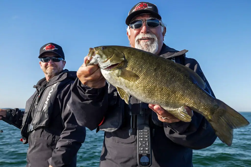
Presented by Garmin N 45°07.315 W074°25.306 DEPTH: 15 – 22 Feet PRESENTATION: Drifting BAITS: 3 ½ – 4 Inch Dropshot Specific Baits This Hotspot is a large underwater rise in Lake St. Francis along the mighty St Lawrence River. The waypoint above puts you there. This is…
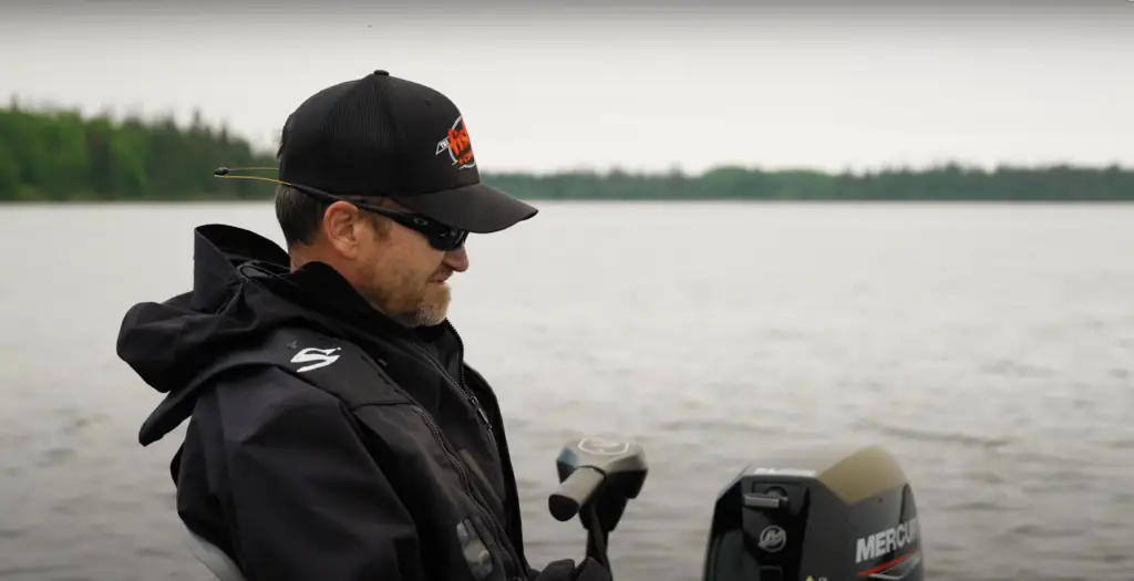
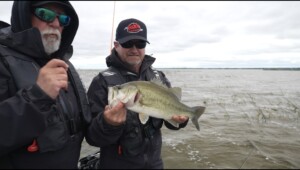
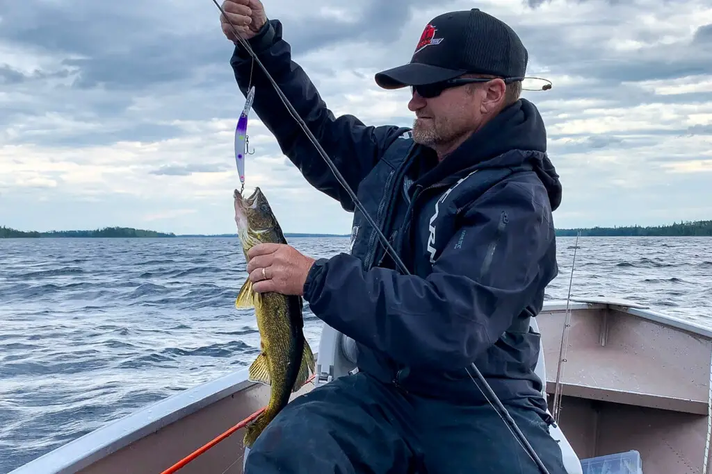
Presented by Garmin N 51°15.370 W087°26.059 DEPTH: 8-16 Feet PRESENTATION: Bottom Bouncing Jigs, Casting, Drifting and trolling Walleye Hardbaits BAITS: 5” White Flukes on a jighead, Crystal Minnow Walleye Cranks This Hotspot is an area on Makokibatan Lake where Pete and Steve had a fantastic day Walleye…
Presented by Garmin N46°18.423 W067°32.413 DEPTH: 2 – 7 Feet PRESENTATION: Stop and go retrieves BAITS: Jerkbaits, Crankbaits, Twitchbaits This episode’s Hotspot is on the St John River directly out and downstream from an incoming creek. The waypoint on your screen puts you right there! The beauty…
IP address: 2a03:2880:21ff:13::face:b00cCountry: City: Operating system: UnknownBrowser: UnknownDisplay: DesktopJavaScript Enabled: Cookies Enabled: 1Third-Party Cookies Enabled: Screen Size: Number of Logical CPU Cores: WebGL Renderer: